
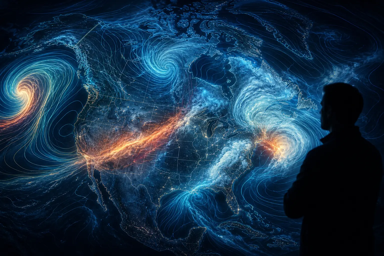
A tornado warning used to have a person behind it. A meteorologist read the guidance, weighed the radar, and made a call that could send you to the basement. That is exactly what AI weather forecasting NOAA now puts up for grabs, because a chunk of that guidance can be drafted by a model in the time it takes to microwave dinner.
That is the quiet shift under way at the agency. In late December 2025, NOAA moved a new suite of AI-driven global models into live operations (NOAA.gov). The headline number is notable: one of them runs a 16-day forecast using 0.3% of the compute the old system needed, and finishes in roughly 40 minutes.
Faster. Cheaper. Often more accurate. So why does this make some forecasters uneasy?
Because speed is the easy part of the story. The harder question is the one nobody in the press release wants to answer out loud. When the model is wrong, who signs off?
AI weather forecasting NOAA: what actually launched
The new suite has three parts, all born from a research program called Project EAGLE, a joint effort across the National Weather Service, NOAA’s research labs, its Environmental Modeling Center, and the Earth Prediction Innovation Center.
Here is the short version:
- AIGFS is the AI Global Forecast System. It replaces the workhorse physics model with a learned one and uses up to 99.7% less computing to run.
- AIGEFS is the ensemble version, running many scenarios at once. Early results extend useful forecast skill by another 18 to 24 hours.
- HGEFS is the hybrid. It fuses the AI ensemble with the old physics-based one, and in testing it beat both on most verification metrics.
That last model matters more than it looks. The “AI versus physics” framing that drives most coverage is a bit of a false fight. NOAA’s best-performing product is the one that refuses to pick a side.
There is a catch buried in the compute number, though. Daryl Kleist, deputy director of NOAA’s Environmental Modeling Center, pointed out that the 99% figure counts only the run-time cost. It leaves out the enormous energy spent training the model in the first place (CBS News). The savings are real. They are just smaller than the headline suggests.
How machine learning weather forecasting actually works
Traditional forecasting is basically physics on a very fast computer. Models like the old GFS solve the equations of fluid motion and thermodynamics across a grid of the whole planet, step by step. It works, but it is expensive.
AI models take a different route. Instead of solving equations, they learn patterns from decades of historical weather. DeepMind’s GraphCast, the model that kicked off this whole wave, trained on roughly forty years of European reanalysis data and learned to predict the next atmospheric state directly from the current one (DeepMind).
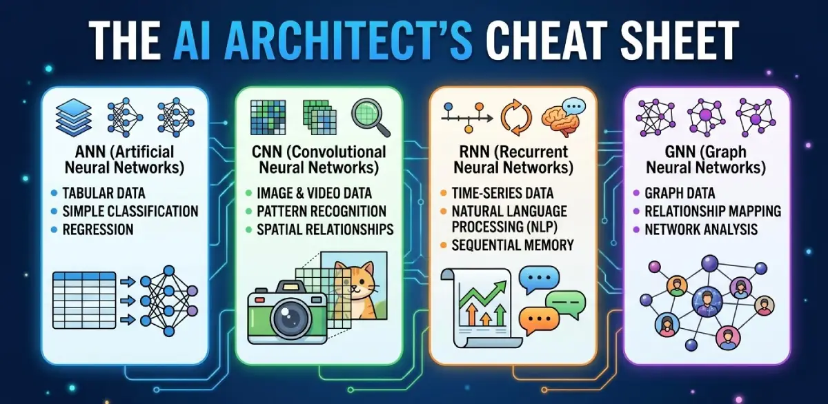
The payoff is speed. Once trained, the model just runs a prediction, no equation-crunching required. That is why a 16-day outlook drops from hours to minutes. If you have read our explainer on how large language models actually work, the shape of it will feel familiar: learn from a mountain of data, then generate. And if you want the deeper architecture story, our cheat sheet on ANN vs CNN vs RNN vs GNN covers the network types these systems lean on.
But the same trick that makes AI fast also makes it blur. Models trained to minimize average error learn to hedge. They smooth. GraphCast underestimated the most extreme rainfall events by 20 to 35%, against 10 to 15% for the physics-based HRES (arXiv). Extremes are exactly what you care about in a disaster. So this is not a small footnote.
GenCast, a newer diffusion-based ensemble from DeepMind, was built partly to fix that hedging, and per DeepMind’s own paper it beat Europe’s operational ensemble on extreme-event scores (GenCast paper). The research is moving fast. The weakest link keeps being the rare, violent event.
Who is accountable when the forecast is wrong
Here is where the human stakes bite.
NOAA is careful in public. It calls these models complementary, keeps the physics-based backups running, and says humans stay in the loop for the warnings that protect lives and property. Industry voices echo the same line: critical warnings will “probably” stay under human review, as the Weather Company has put it.
Notice the word “probably.” It is a norm, not a rule.
And the norm is already slipping. The National Weather Service has pulled back human review on forecasts beyond day four. One Montana office now appends a blunt disclaimer to its longer-range product: “little to no human intervention” and “should be used with caution” (The Hill). That is not a hypothetical. It is live, in production, on a real government forecast today.
Stack that on top of staffing cuts. Some NWS offices have suspended overnight staffing and lean on neighboring ones, and veteran forecasters say this already slows how fast tornado and flash-flood warnings go out. The same worry showed up in scrutiny of the July 2025 Texas flooding (FactCheck.org).
Put the two trends together and you get the tension nobody has named. A brilliant but still-immature AI suite is arriving at the exact moment human review is being trimmed. NOAA’s own scientists admit hurricanes and ensemble spread are the weakest parts of the new models. So the highest-stakes forecast is also the least mature one, landing just as the human backstop thins.
This is the same accountability puzzle we keep circling on this site. Who answers for the output? We asked a version of it about trusting AI to diagnose you better than a doctor. Weather is just the version where a wrong answer can arrive as a flooded street.
What happens to the meteorologist’s job
The obvious fear is replacement. The likelier reality is stranger.
Industry estimates float around 30 to 40% fewer forecaster positions over a decade, under a scenario where AI absorbs most routine products and humans concentrate on severe weather. Treat that as a trade estimate, not gospel. Still, the direction is clear.
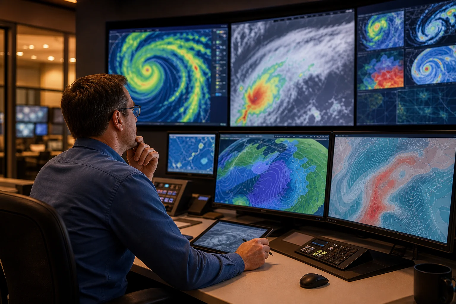
What is not clear is that “fewer” means “less important.” One meteorology expert put it plainly in a WUSA9 interview: “I believe the role of human forecasters is even more important in these AI models.” The job shifts from building the forecast by hand to something closer to editor-in-chief: check the AI’s output against physical common sense, layer in local knowledge, decide what to tell the public and how.
Call it a risk communicator more than a forecast producer.
The institutional signal points the same way. NOAA’s broader overhaul plans, as reported by Bloomberg, now name AI-driven restructuring explicitly. This is not a one-off model launch. It is a reorganization with the model at its center. That is a familiar pattern for anyone tracking how governments handle high-stakes AI, something we dug into around AGI regulation and how governments plan for it.
What is still up in the air
A few things are worth holding loosely.
The 18-to-24-hour skill gain and the better hurricane tracks are described by NOAA itself as early results, not multi-season proof. Weather models earn trust over years of verified performance, not one launch announcement.
The compute headline is contested by NOAA’s own deputy director. The hedging problem on extremes is baked into how these models train. And the biggest open question is not technical at all. It is how much decision-making authority NOAA is willing to hand over, and how loudly working meteorologists get to push back before that line is drawn.
So, who owns the forecast? For now, a person still does. The uncomfortable part is that the answer is being renegotiated quietly, product by product, disclaimer by disclaimer, while the public assumes a human is still watching the storm.
Watch the fine print on your next long-range forecast. It might tell you more about who is accountable than any press release will. And if this is the kind of question that keeps you reading, dig into our take on what happens to human control when AI acts on its own next.